
This adventure in the Apalachicola Bluffs and Ravines was funded by a grant from PBS, which premies its new special series, the Age of Nature, on October 14 at 10 pm ET. Learn more about the Age of Nature on WFSU here.
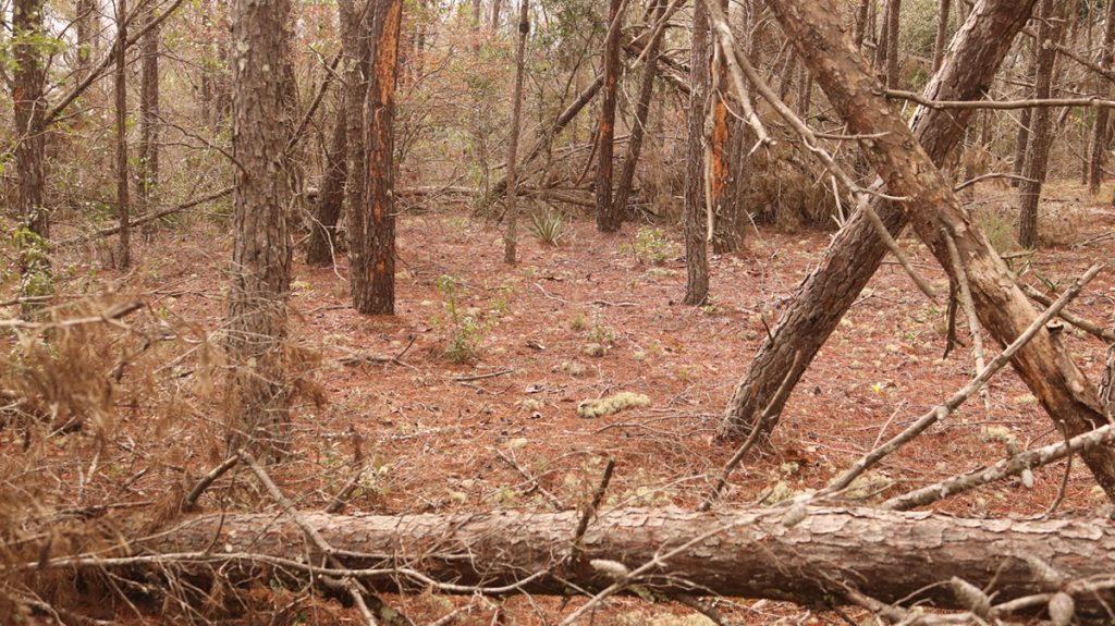
“We are here, actually, at an ecotone.” says Brian Pelc. “An ecotone is where two different ecosystems come together. And this is the ecotone between the uplands and our steephead ravines, or slope forests.”
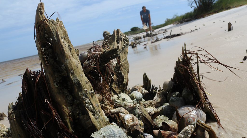
We’re standing on the rim of a ravine, looking down at a wreck of trees. Hurricane Michael opened up the canopy down below, letting in light where once was only shade. It makes for a challenging climb down. In addition to the usual challenge of the steep walls, which take some careful stepping (or scrambling or sliding), we’ve got to limbo under a few trunks, or crash through a tangle of branches- not fun while you’re carrying camera gear.
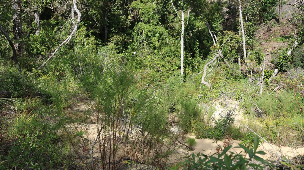
But before we head down, let’s consider this spot where the land begins to plunge. The Apalachicola Bluffs and Ravines Region is one of five biodiversity hotspots in North America, and to Brian, this is the spot to illustrate why. Brian is Restoration Project Manager for The Nature Conservancy in Florida. We’re joined by Lilly Anderson-Messec, TorreyaKeepers Project Manager for the Florida Native Plant Society. Between the two of them, we end up seeing a lot of this biodiversity.
Biodiversity Three Levels Deep
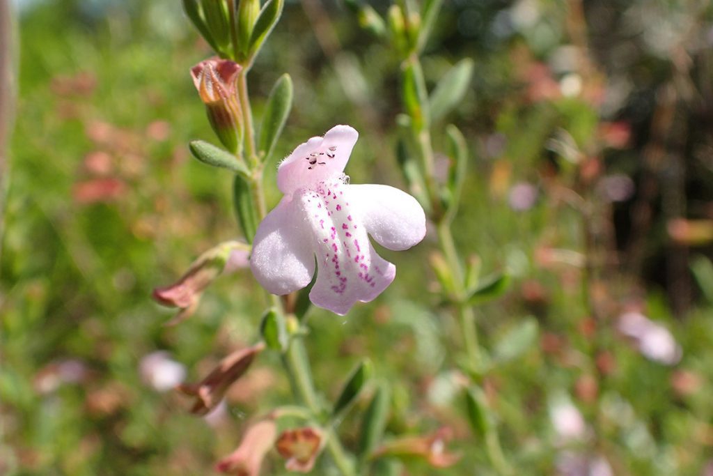
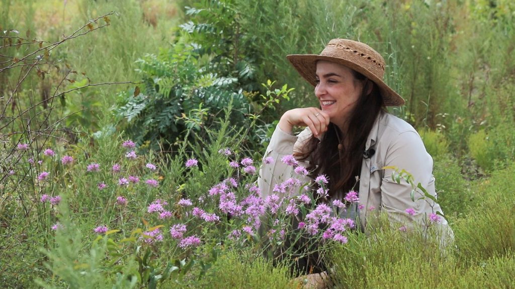
Around us is the upland, a longleaf/ wiregrass sandhill habitat. Here, fire keeps down woody plants and makes space for, potentially, hundreds of different grasses, wildflowers, and other herbaceous plants. Lilly almost immediately spots Florida Calamint, which only exists in a handful of north Florida and south Georgia counties. We also see scareweed, a state-listed panhandle endemic. There are numerous others, and many more at our next upland stop.
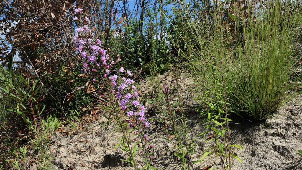
At the edge of the ravine, Lilly spots another rare wildflower, a patch of Gholson’s blazingstar. Further down, steephead ravine slopes are home to uncommon and local trees such as the Pyramid magnolia, Florida yew, and of course the Florida Torreya. At each end of the slope is an ecotone, and as Brian points out, at different elevations along the steep descent, plants change.
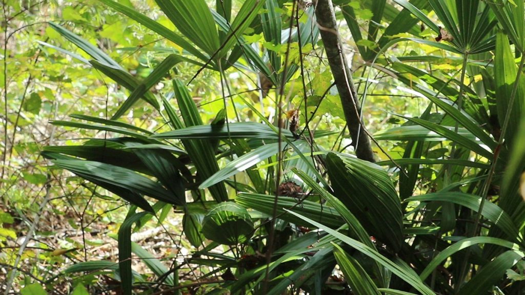
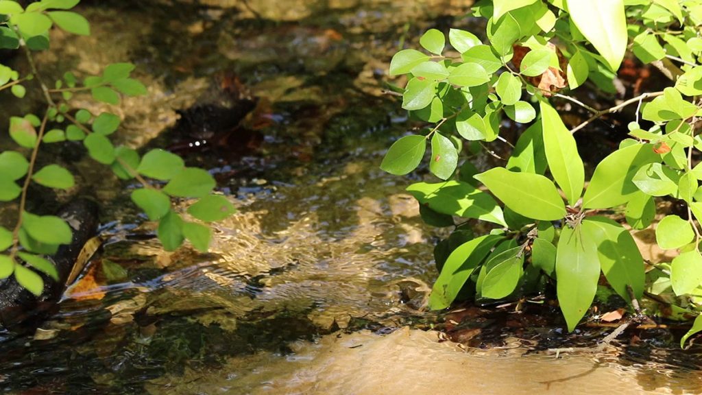
And then, when we reach the bottom, we see entirely different plants. Along the ravine stream grows Florida anise, and the needle palm we see in the video. If we were to dig around at the edges of the stream, and move around some logs, we might find Apalachicola dusky salamanders or fireback crayfish.
At each level is a rich ecosystem in its own right, and each with rare and sometimes hyper-localized species. Standing at the rim of the ravine, though, all of it is within eye shot.
“If you marked out an acre,” Brian says, “the number of organisms- creatures, plants, animals, bugs, fungi, bacteria- that are living in that space is really, really high right here near the Apalachicola River.”
We’ll go more in depth on the plants here in part two of this segment. For now, let’s talk about sand.
Yes, let’s talk about sand
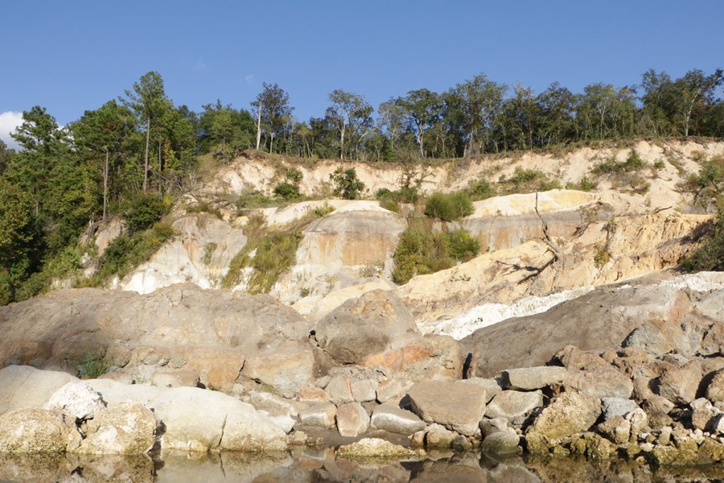
When I started setting up our Age of Nature shoots, focused on the Apalachicola Bluffs and Ravines, I didn’t expect to find myself on Saint George Island. I’ve written before about the formation of the barrier islands surrounding Apalachicola Bay. I had always emphasized the furthest distance traveled by the sand grains that make up the islands, bits of quartz and mica that were once a part of the Appalachian Mountains.
As Doug Alderson tells me, “The Appalachian Mountains were as tall as the Himalayas [are] today… They’ve been eroding for millions of years, and we’re seeing some of the result of that here on the beach.”
The Chattahoochie River, when it flowed unimpeded, carried that sand into the Apalachicola, and from there it flowed down into the bay. As these rivers wound their way down Georgia, Alabama, and Florida, they continued to pick up sediment along the way. Now, the Chattahoochie is regulated by a series of dams that hold back sediment. The Apalachicola will carry sand anyway; because of this, it now strips sand from the river bottom, deepening its basin. The sand from surrounding uplands is another source of new material for Saint George, Saint Vincent, and Dog Islands, as well as Saint Joseph Peninsula.
The sand back in the uplands was once beach dunes, when the coast was about fifty miles north of where it is now. The Bluffs and Ravines area has some of the highest elevation in Florida, and this is where the Gulf of Mexico reached millions of years ago, when sea level was much higher. The sandhills here are 150 feet deep.
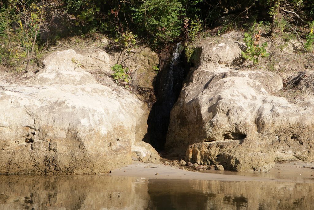
We’ve already covered how steephead ravines form in these deep sandhills, and how how water moves down through the 150 feet to form ravine streams. What I hadn’t realized is how fire facilitates this process.

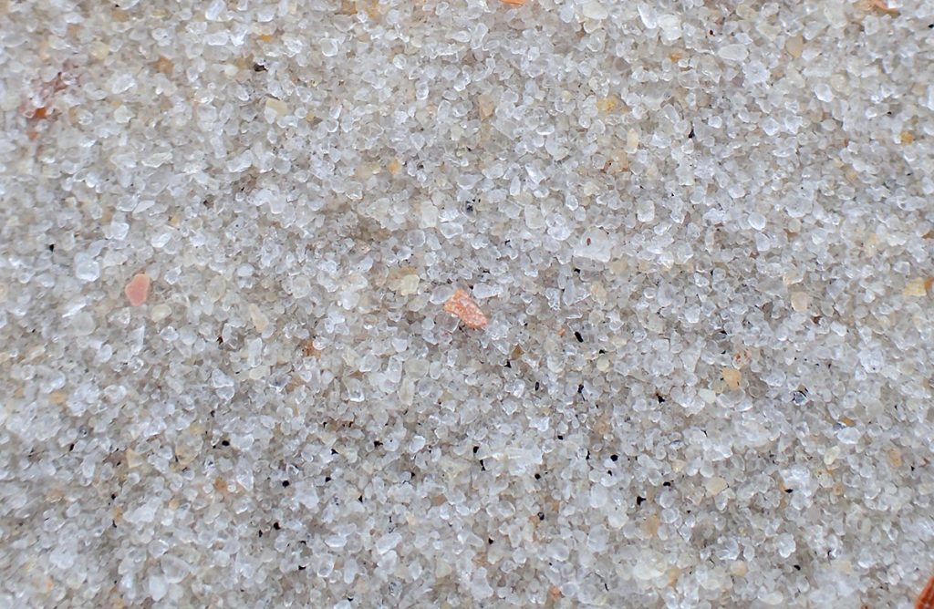
A closeup of sand at the Apalachicola Bluffs and Ravines Preserve. Orangeburg sandy loam in a longleaf habitat at Tall Timbers Research Station and Land Conservancy.
Adapting to Life in the Sandhills
For a biodiverse ecosystem, the soil in a sandhill doesn’t give much to its plants. Compare it to the denser soils of the Red Hills just to the north of this ravine. That soil has smaller clay particles mixed in with its sand, letting water and nutrients pass through just a bit more slowly (learn more about soils in our area in this 2021 post). That slower movement gives roots more chance to grab moisture and nutrients.
Sand, as I said in the previous section, is larger bits of broken up rock. It has the largest grains of any soil type. Those big grains are irregularly shaped, and don’t fit together tightly. Unlike tightly packed clay, when water lands on sand, it slips between the grains until it hits the next hard surface. Here, that’s 150 feet down, a little higher than the surface of the Apalachicola River.
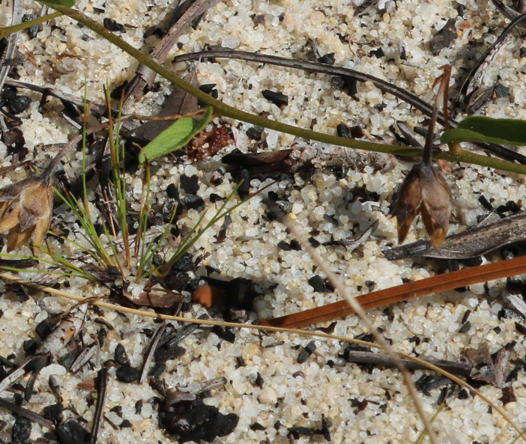
Plants in the uplands are adapted to this resource-poor landscape. The taller longleaf pine trees are widely spaced, and the understory plants are knee high and below. I see many of the same genera (plural of genus) of plants I saw on a trip to arid Colorado last summer: yuccas, lupines, and prickly pears. Like any high, dry place in the American southeast, this is an ecosystem would naturally have burned every two to three years. Fire keeps the landscape open, allowing the many plants here to thrive in harmony.
Without fire, the plants here would change. So, too, would the way in which water moved from up high to down low.
Sippers and Chuggers (Pines and Oaks)
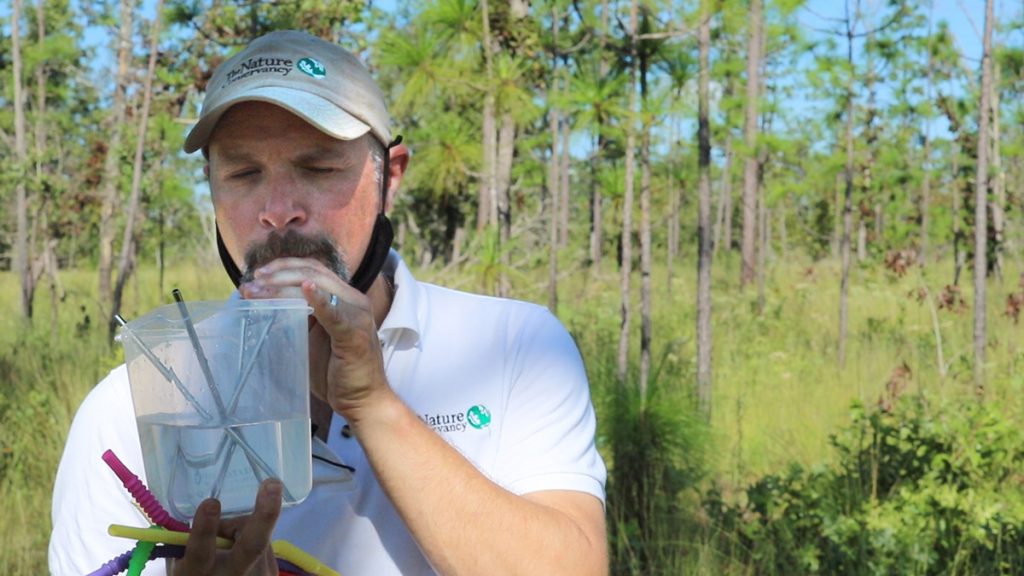
Brian holds a transparent plastic container half-full with water. This is a demonstration he’s been wanting to try out for visiting field-trippers, and he’s testing it out on camera.
“If we can imagine this is a forest, and it has a certain amount of water,” He says. “Let’s say this is the amount of water over a year. And in it right now I have some silver- or some aluminum straws. We’ll pretend that those are pine trees. And these pine trees are sippers. They’re not chuggers.”
Longleaf pine are adapted to high and dry landscapes, and don’t need a lot of water to thrive. In the understory, we have other native plants adapted to this landscape, even if it seems this environment harms them. These are the hardwoods that fire beats back every two to three years.
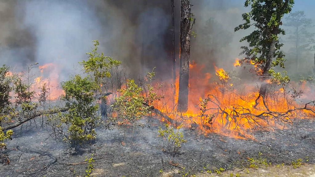
Even though fire kills a large part of turkey oaks, and they’re much smaller here than in wetter environments, they are indeed adapted to fire. They can reach maturity and reproduce in that 2-3 years between fires, even while knee-high.
“These are going to produce acorns, too,” Brian says, motioning to oak shrubs that have regrown after a prescribed burn just four months ago. “These aren’t babies. These are old trees.”
They’re adults, but they can grow much larger in the absence of fire.
“But, would fire be taken away,” Brian says, “in maybe only ten, fifteen years, these trees would grow up and really start chugging the water. And of course, the more straws in the water, the more water is going to go away.”
Envisioning the Apalachicola Bluffs and Ravines without Fire
“And where does this water go? This water goes up into the atmosphere, which is part of the water cycle, right? Where that water isn’t going to go is into the Apalachicola River to feed oysters.”
When you exclude fire from a longleaf ecosystem, it becomes less biodiverse. This is fairly well known to anyone familiar with fire ecology. When hardwoods get big, they crowd out grasses and wildflowers. As a result, there is less food and shelter for the numerous animals in this habitat.
Less talked about is that the root systems of all these larger trees are going to drink more water. Water that would normally flow downward into the sand. Here along the Apalachicola River, that would keep water from flowing into steephead ravine streams. In a lot other sandhill habitats, rain seeps directly into the aquifer, our source of drinking water, springs, and other wetlands (like ephemeral wetlands in the Munson Sandhills).
Without fire, less freshwater would flow into the Apalachicola River, and less sand would drift down onto Saint George Island. Steephead ravines aren’t a large source of fresh water or sand in the Apalachicola system. But they are an important component of that system, filtering water and providing habitat for so many plants and animals.
“It was in discovering that, to manage and protect the rare species in the ravines, we also had to manage what was going on upland from it.” Brian says. “So it’s not unlike the same story with the Apalachicola River, where what we do up in the uplands directly runs downhill into the rivers, and then that runs down into the Gulf of Mexico. So on every scale, that same kind of idea is happening.”
The Age of Nature on the Apalachicola
Our last stop on the day is a large, open, grassy space. Mixed in with the wiregrass is a bounty of wildflowers, including a few of those found only in small areas on this earth. We also find several longleaf pine in the grass stage, young trees gathering the resources for a growth spurt at the right time between fire cycles. We’re in a sandhill restoration zone in Torreya State Park
We visited several stages of this restoration last fall. The Nature Conservancy is working with the park to restore over 4,000 acres of longleaf habitat. This restoration is why we’re focusing on the Apalachicola Bluffs and Ravines for our Age of Nature videos and discussions.
The Age of Nature series (premiering on WFSU-TV October 14 at 10 pm ET) features stories from across the world about the human relationship to nature. Many of those stories, like this one, start with people looking into a certain problem, and finding a solution that rippled across ecosystems.
The stories in the three part series, and those we’re producing locally, look to answer three questions.
The Three Questions:
What have our past mistakes taught us about nature?
How is our understanding of nature changing the way we live?
As the challenges we face mount, where are we heading next?
The past mistake?
When The Nature Conservancy bought the Apalachicola Bluffs and Ravines Preserve in the 1980s, the uplands surrounding the ravines had been converted to sand pine plantation. Sand pines are native to Florida, but not in this type of ecosystem. Sand pine plantations form dark canopies, and have little understory diversity. The Nature Conservancy restored that habitat in the 1990s, and is now helping Torreya State Park restore the thousands of acres surrounding the Sweetwater Creek Ravine.
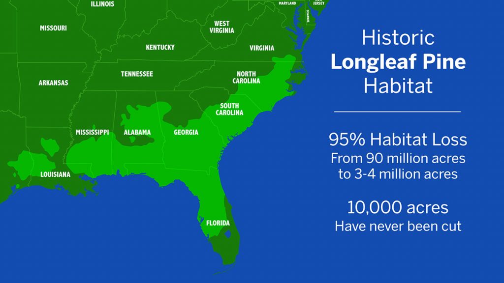
Only five percent of the historic longleaf habitat remains. This was the dominant ecosystem in the American southeast, and this significant decline has altered the ecology of the region. As we’ve seen here by the Apalachicola River, a healthy longleaf savanna isn’t just good for the plants and animals that call it home, but it’s also good for the ecosystems it borders, and everything connected to it by water.
This is the understanding of nature mentioned in the second question, this understanding of the components of a natural system, and what each takes to thrive. The Apalachicola River needs its uplands as well as its tupelo swamps, just as the bay needs freshwater, sediment, and nutrients from throughout the system.
Now, as to the second part of the second question, and the third question? Tune in next week as we look at native habitats and climate resiliency, stopping the decline of native wildlife, and what we can do at home.
What Else Do We See in the Video?
There are a few things I didn’t label in the video, and that we haven’t talked about in the post, that I’d like to highlight quickly.
In the opening shots of the video, and throughout, we see a tall river bluff. This is Alum Bluff, the largest geological outcropping in Florida. We also see a steephead stream emptying out from Alum Bluff into the river. The Bluff is a part of the Apalachicola Bluffs and Ravines Preserve; on this property, you can hike The Garden of Eden Trail, which takes you into ravines and up to the top of Alum Bluff. In my opinion, it’s one of Florida’s great views.
In the uplands, we see a couple of images of fire adapted grasses. The first is wiregrass (which we see close up at 1:56), a key fuel for prescribed fire.
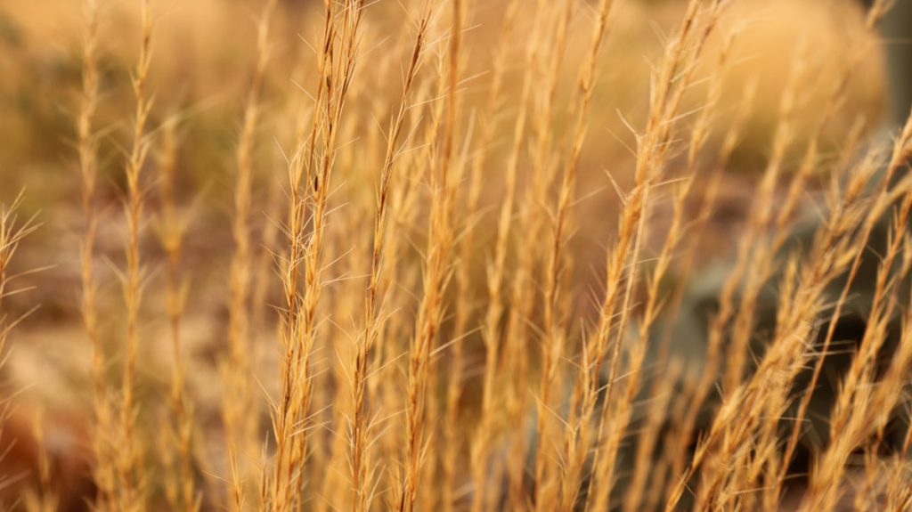
After sand pine is cleared from each restoration zone, The Nature Conservancy spreads wiregrass seed collected at ABRP. Not only is wiregrass an important fuel for fire, it cannot seed without it.
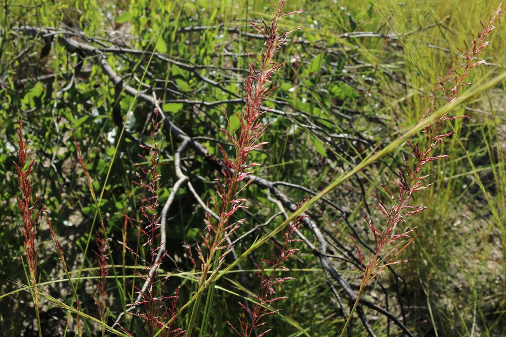
Wiregrass and longleaf pine needles are the primary feeders of fire in this system, but not the only ones. Other grasses, like this pineywoods dropseed, play an important role in this ecosystem as well.
Field Trips and Discussions
Like I’ve been saying, we’ll get more into plants in our next segment. In the mean time, you may be interested in our thirty minute field trip through the Apalachicola Bluffs and Ravines region. Our target audience was middle and high school students, but I know we have a lot of lifelong learners in our audience.
And be sure to register for our Age of Nature Virtual Screening and Discussion on the Future of the Apalachicola River (October 20 at 7 pm ET). Our panel includes Brian and Lilly, our friends from the Apalachicola Riverkeeper, author Susan Cerulean, and Temperince Morgan, the Executive Director of The Nature Conservancy in Florida. We’ll premiere our next segment, and preview episode 2 of the Age of Nature.