Rob Diaz de Villegas WFSU-TV
First day’s paddle is done!
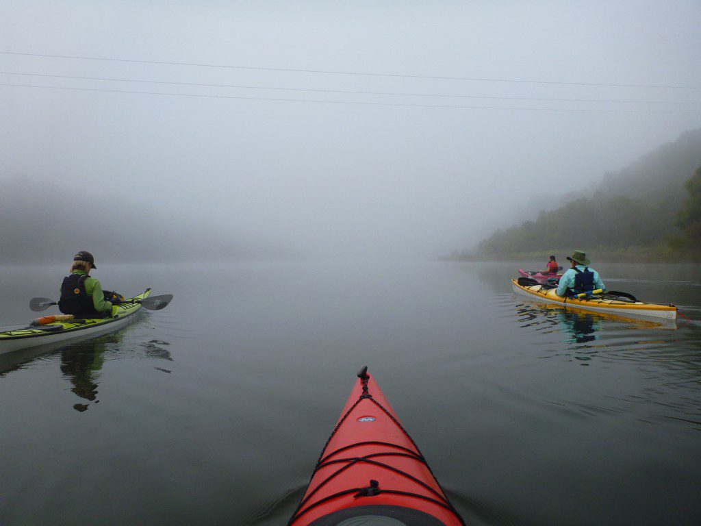
It was an incredibly foggy day. It made for an interesting paddle when anyone that got ahead of you started to disappear.
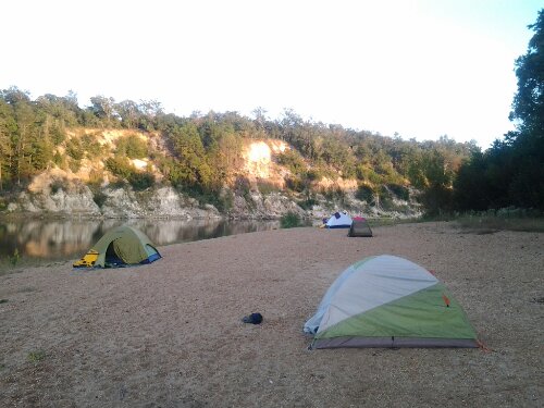
We paddled twenty one miles, from the ramp, just near the Woodruff Dam (mile marker 105) to a sandbar across from Alum Bluff (mile marker 84), where we’ll be spending the night. Yes, there are mile markers along the river, a remnant of the days when barges rode this watery highway to the Gulf. The dam lies about 1000 feet downstream of the original confluence of the Flint and Chattahoochee Rivers, just north of the Florida/ Georgia border. The confluence is now below the lake created by the dam, Lake Seminole.
I admit that I had only really seen this part of the river as I crossed over it on I-10 (that’s when I like to take my cell phone out and watch the time change). What did the motorists passing over us make of our brightly colored kayak flotilla?

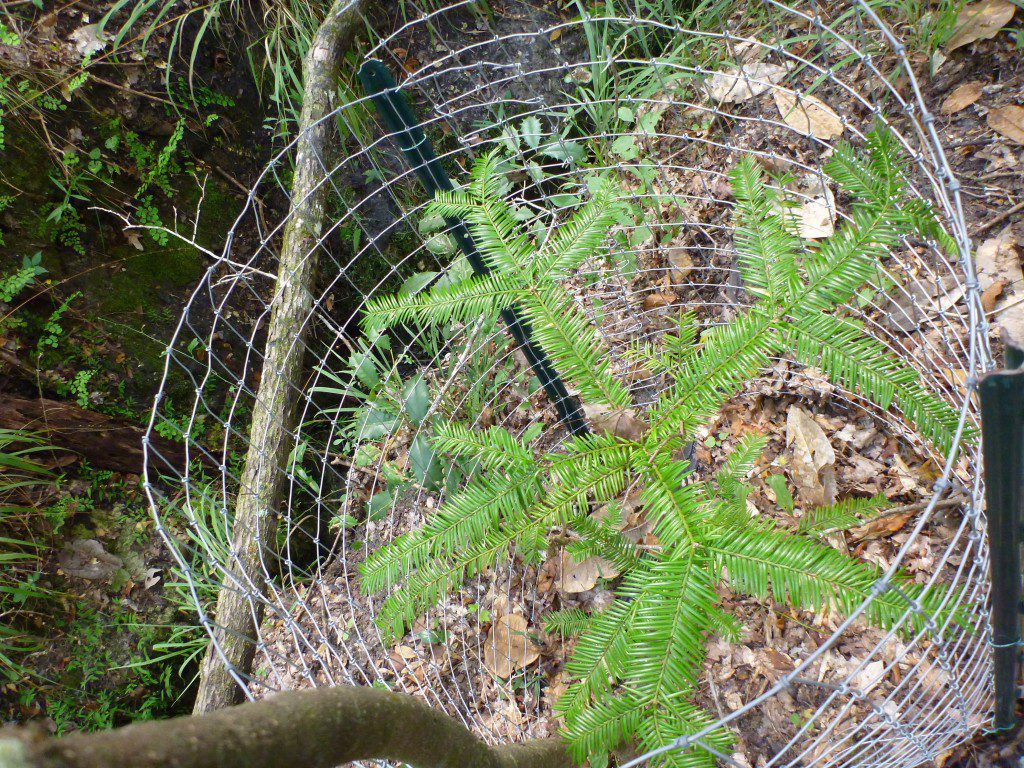
The cage around this young torreya is meant to prevent deer from eating it. They grow slowly, leaving them vulnerable to plant consumers.
A couple of hours into our trip, we stopped at Means Creek in Torreya State Park. The creek is named for biologist Bruce Means. There, park biologist Mark Ludlow showed us a young torreya tree. He told us how less than 1000 of the trees exist, all along this river. One hundred million years ago, they were common in the southeast and across the adjacent landmasses that were part of Pangea. Torreya species exist in California and China.
So far the technology side of this seems to be working, if a little slowly. Georgia’s been snapping away on her iPhone, while WFSU videographer Dan Peeri travels with the tablet in the Riverkeeper boat. He also has a “real” camera and a wireless mic on Dan Tonsmeire. I’ve been in a kayak with four little waterproof still/ video cameras positioned around me. This is not at all what I thought TV would be like when I started over ten years ago. It allows us to tell this story a little differently, and all the footage is HD so we can make a more traditional video when we get back.
Helen Light talked to us as we ate dinner. She works for the US Geological Survey, and she talked to us about the damage being done to the Apalachicola flood plain. Obviously, we’ve talked about the damage done to the bay by the drought. But between 1976 and 2004, They are 44% fewer Ogeechee Tupelo Trees. That affects tupelo honey production. The drought has choked off sloughs and kept the river from flooding to where fish can’t eat many of the invertebrates they had normally eaten. We’ll have more on her talk when we get back.
Join us tomorrow as we get up bright and early to hike up this bluff:
For more information on Rivertrek, visit the official page. This page is on the Riverkeeper web site, and you can further explore what they do for the river. (They’re also on Facebook).
The Franklin County Promise Coalition is coordinating aide efforts for families that are being affected in Franklin County through their Bay Aid program. As Dan told us in his original interview, over half of the residents of Franklin County depend on the river for their livelihoods. Learn more about volunteering and other Bay Aid opportunities here.


1 comment
What an adventure – Snakes alive!
Comments are closed.