The Apalachicola River issues forth from the Jim Woodruff Dam, at the Florida/ Georgia border. Where the Chattahoochee and Flint once convened without impediment, its waters are now regulated by a system of dams and reservoirs controlled by the Army Corps of Engineers.
That any water would be restricted from entering the Apalachicola is a cause for concern in Florida. And for good reason. The river basin is one of the nation’s greatest biodiversity hotspots. Likewise, Apalachicola Bay was, historically, one of our nation’s most productive estuaries. There’s a lot at stake.
Over the last few years, WFSU has explored this remarkable system through our EcoAdventures and in our National Science Foundation funded In the Grass, On the Reef series. These have been tumultuous years, during which the river basin has suffered record low flows and the collapse of its once great oyster fishery.
The fight for water between Florida, Georgia, and Alabama is well documented. A lot of attention gets paid to the courtroom battles and political grandstanding surrounding this system. Leave all of that (mostly) behind, and join us as we get to know one of Florida’s great ecological treasures.
Browse the most current Apalachicola River and Bay content on the WFSU Ecology Blog.
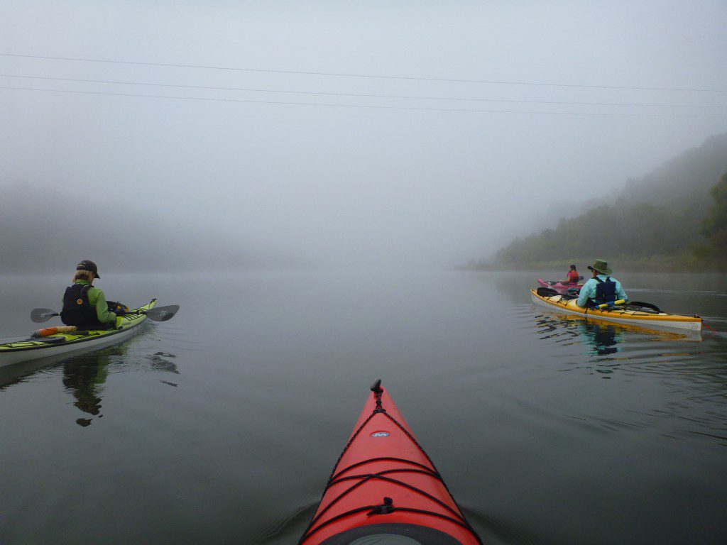
RiverTrek | Experiencing the Whole Apalachicola
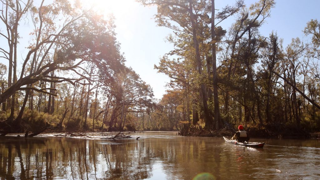
Every October (when there isn’t a hurricane), a group of kayakers paddles all 106 miles of the Apalachicola River as a fundraiser for the Apalachicola Riverkeeper. RiverTrekkers also explore around the river, climbing river bluffs, ducking into caves, delving into tupelo swamps, and hiking into the floodplain on short excursions.
WFSU Ecology Producer kayaked the whole river in 2012, and returned for a shorter excursion in 2013. In 2015, he paddled for two days with his then four year old son Max. And in 2016, geologist Harley Means took the ‘Trekkers through millions of years of the upper river’s history through fossils, including that of the largest shark to ever roam the earth.
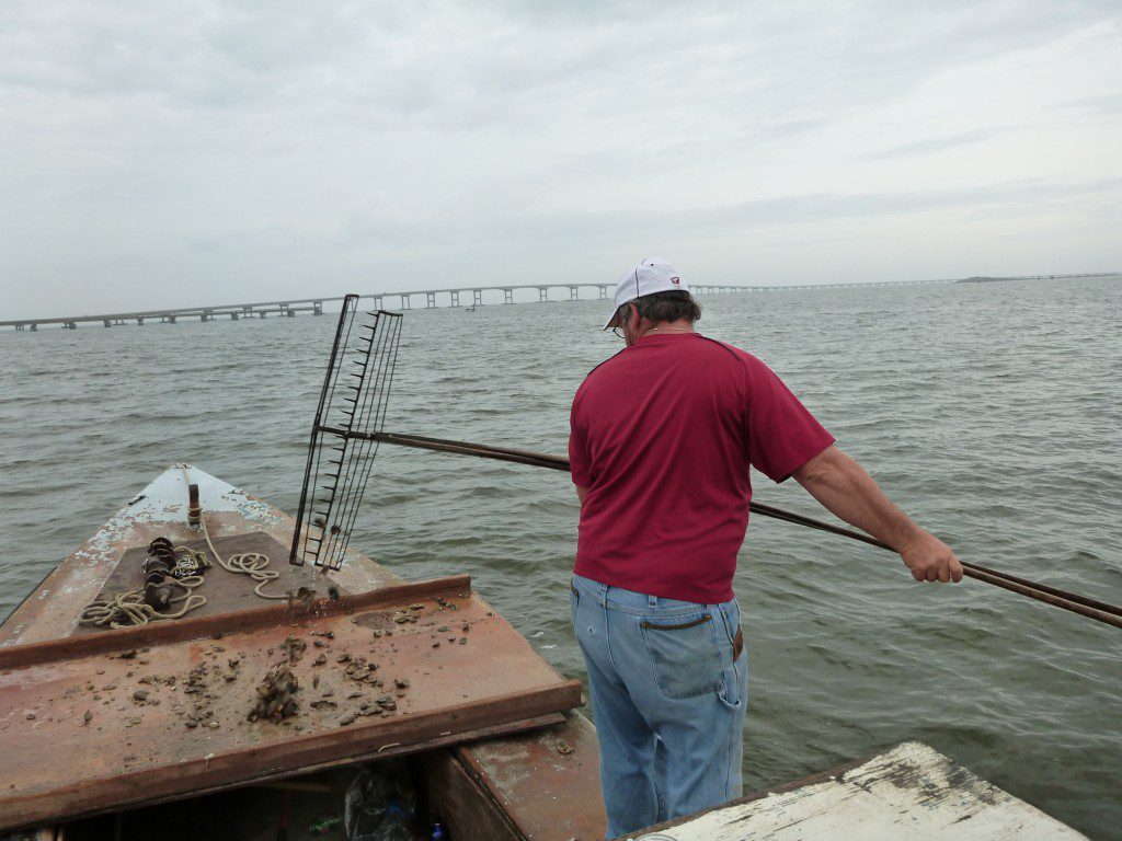
The Collapse of the Apalachicola Bay Fishery
Until 2012, Apalachicola Bay provided 90% of Florida’s oyster harvest. That year, after months of record low flows on the Apalachicola River, the bay saw its oyster fishery come crashing to a halt. Saltier water in the bay led to an explosion of oyster predators.
WFSU’s In the Grass, On the Reef collaborator Dr. David Kimbro joined with researchers from the University of Florida to investigate how low flows, and higher salinity in the bay, led to this ecosystem collapse.
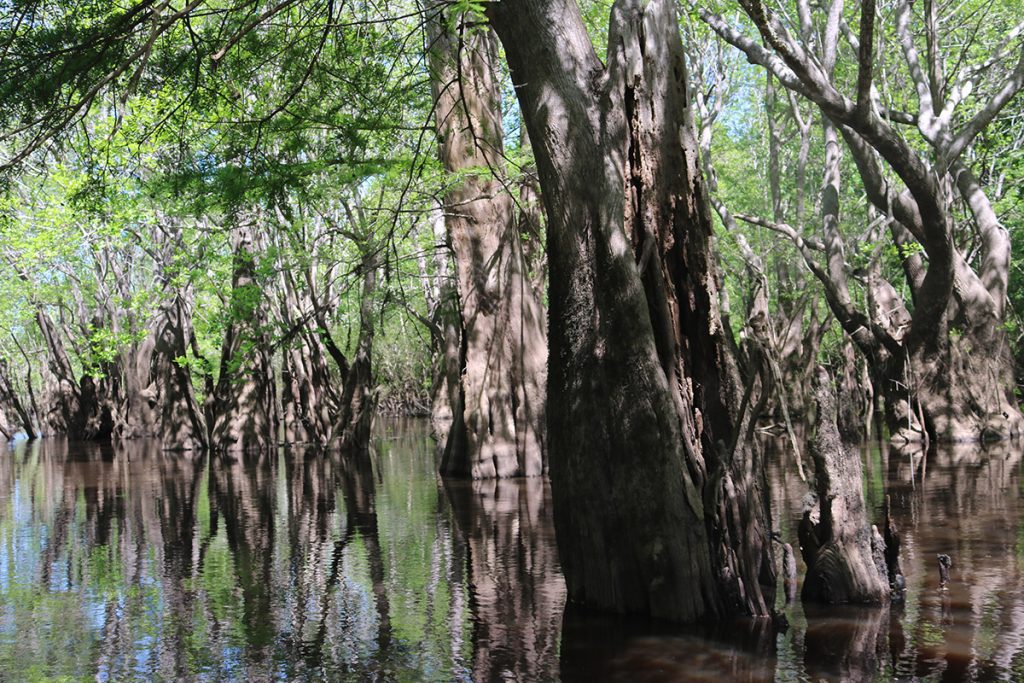
Tupelo Swamps and the Apalachicola Floodplain
The Apalachicola River is 105 miles long. But, when the water is high enough, the system has an additional 300 miles of connected waterways. Sloughs, which don’t always hold water, connect the river to a vast network of swamps and floodplain forest.
Some of our favorite adventures have taken place in the maze of waterways that are sometimes passible, and sometimes not. This a key source of nutrients for the Apalachicola bay estuary, and the main source of the world renowned Tupelo honey.
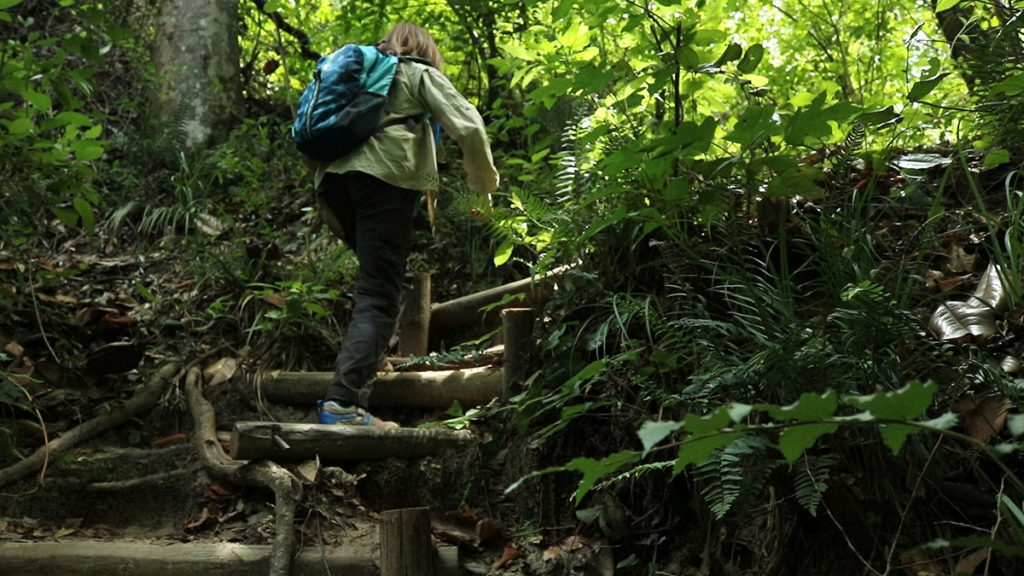
Apalachicola Bluffs and Ravines
The upper Apalachicola river features some of the most unique biology and geology in Florida. The high river bluffs were, millions of years ago, an ancient coastline. Not only are they full of ancient fossils, but within the one time coastal dune systems we find a phenomenon that occurs only in north Florida, and Mars.
Steephead ravines are narrow, shaded pockets carved into river bluffs. They’re filled with a high diversity of plant and animal life, a mix of local endemics, Appalachian Ice Age refugees, and much more.
The Chipola River
The Chipola River is the Apalachicola’s main tributary, running alongside it from the Georgia state line to where they join, just south of Sand Mountain.
Each section of the river has its own character. The Upper Chipola disappears underground at Florida Caverns State Park. The middle section is full of springs runs (one of which, Merritt’s Mill Pond, is a worthwhile adventure on its own) and an easily accessible terrestrial cave. The river then widens into the Dead Lakes, where you can kayak through a dead, flooded forest.

