This story is a collaboration between WFSU in Tallahassee, WABE-FM in Atlanta, and Alabama Public Radio. WABE’s Molly Samuel starts us off in Lake Lanier near Atlanta. From there we travel down the Chattahoochee River, where ABR’s Stan Ingold takes us to the Walter F. George Reservoir in Alabama. Finally, WFSU’s Rob Diaz de Villegas takes us into the Apalachicola River delta in Florida, just miles from where the water completes its journey to Apalachicola Bay, and the Gulf of Mexico.
Florida, Georgia and Alabama have been arguing for decades over water. Florida and Alabama accuse Georgia of using too much of it.
Even now that a major case in the 30-year fight ended earlier this year, with the U.S. Supreme Court siding with Georgia, the disagreements are far from resolved.
At stake are delicate habitats in Florida and a once-thriving oyster fishery, jobs and power generation in Alabama, and water supply for south Georgia farmers as well as for most of metro Atlanta.
While state and federal officials have not been able to come to agreement over how to manage their shared river system, six years ago, a group representing industry, farmers, residents and environmentalists in all three states released a plan they say showed a way forward, releasing a set of recommendations they say can help ease the problems, without resorting to the courts.
Now that the Supreme Court case is over, that group, called the Apalachicola Chattahoochee Flint [ACF] Stakeholders, says there could be a new opening for the states to find a way to share the water.
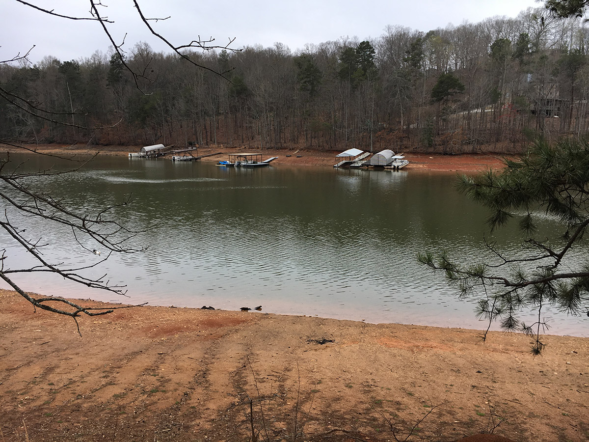
Lake Lanier, Georgia
Wilton Rooks, one of the founders of the ACF Stakeholders, says the group first came together more than 10 years ago with one big question: “Is there a better way to manage the water, other than through the courts?”
“In reality, the agenda for the first meeting was, ‘does it make sense to have a second meeting,’ and we decided that there was,” he says. “There was optimistic hope that something could be arranged.”
They did eventually figure out a plan, using a consensus process where every member of the group, from all three states and from a variety of viewpoints, had to agree to every recommendation.
In 2015, they released that plan. It was two years into the Supreme Court case, not a time when Florida or Georgia were interested in consensus.
One of the recommendations included was to raise the level of Lake Lanier by two feet, in order to store an additional 26 billion gallons of water in the reservoir.
“I’ve always used the analogy of a bank account,” Rooks says. “The more money you have stored in your bank account, the more you have to use when you need it if you have an emergency.”
An emergency, like a bad drought.

Because there’s enough water to go around during wet years; the problems arise in dry ones. And those dry years have been getting more frequent.
To raise Lanier, the dam itself wouldn’t have to be changed; it’s high enough. But the idea still wouldn’t be easy.
“There are still a lot of unknowns,” says Jennifer Flowers, executive director of the Lake Lanier Association. “In terms of how that lake level would affect those around Lanier.”
Higher water levels would put boat ramps under water. Beaches would be affected.
And Flowers says there are also questions about how that extra water would be used when it is needed.
Still, Rooks, who’s no longer involved with the Stakeholders group, says at least this plan shows that a solution is possible, even if it ends up being different from the ACF Stakeholders’ proposal.
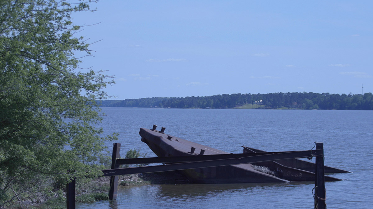
Walter F. George Reservoir, Alabama
There’s enough water for everyone most years. Gordon Rogers is the Flint Riverkeeper in Georgia and has served the ACF Stakeholders in various capacities. He says the problems arise when there’s a drought.
“There are real and perceived shortages of water in the basin.” Rogers says. “Some of them are real, some of them are perceived and so the arguments center on what is real and what is not. None of it matters really unless we are in a drought but the things that we do when we’re not in a drought matter in terms of getting prepared for droughts.”
The town of Eufaula is home to the Walter F George Reservoir. It’s just over 220 miles downstream of Lake Lanier, but still on the Chattahoochee River on the border between Georgia and Alabama.
This is home to Phillip Clayton. He is the current chair of the ACF Stakeholders group. He says one issue for Alabama is the several industries that rely on the Chattahoochee. “If they do not have adequate flow, they would shut down.”
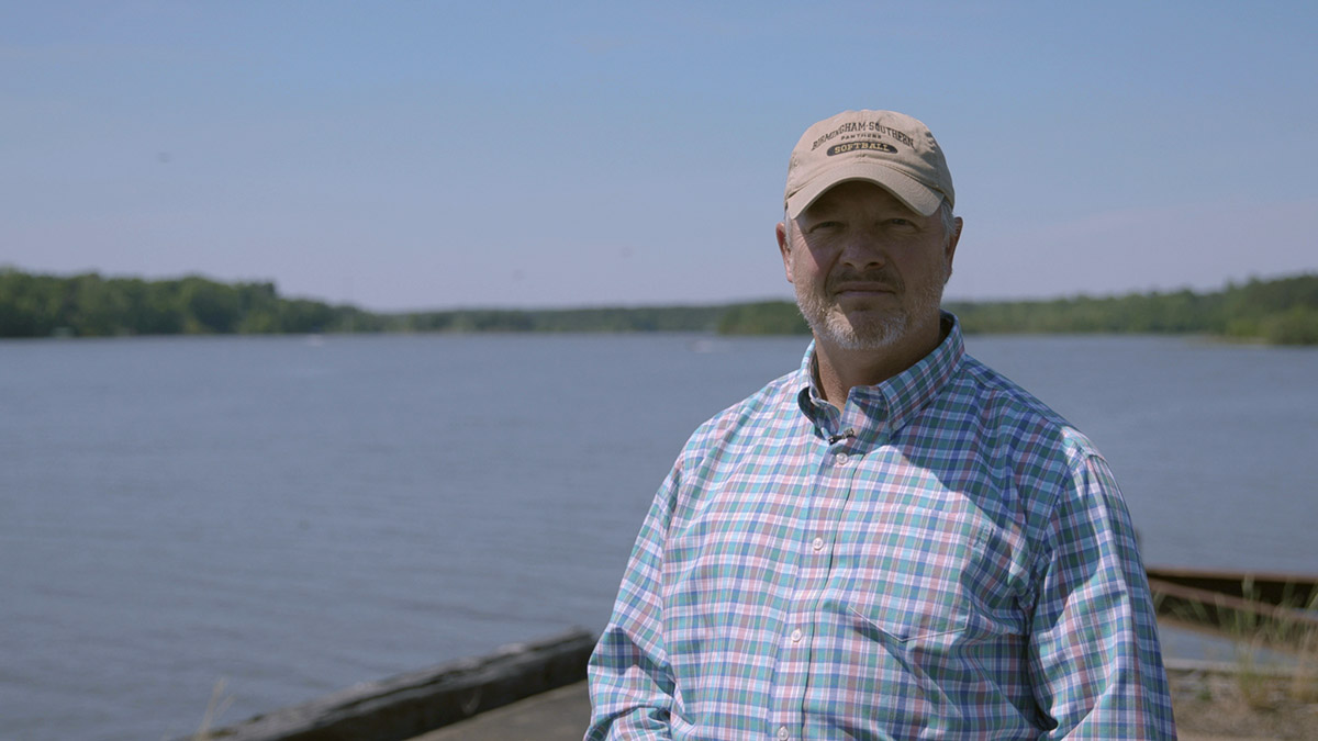
Less water means fewer jobs. Clayton uses one of the paper mills as an example.
“That is 800 jobs and that would have a tremendous impact on our local economy here,” he says, “the economy of Phenix City and Columbus and in the region because losing associated indirect jobs that support those 800 direct jobs.”
Clayton says the stakeholders’ water plan was largely ignored by leaders from all three states, and by the U.S. Army Corps of Engineers. One of the biggest obstacles for the plan was the recent Supreme Court case between Georgia and Florida. Gordon Rogers says that hampered communication between leaders.
“The governors didn’t want to talk about it, their staff.” says Rogers. “Why should Alabama talk about it when Georgia and Florida aren’t going to talk about it? Florida and Georgia aren’t going to talk about it during litigation.”
Rogers says cooperation is key to making the plan work.
“In the vernacular of the south, All the mules need to be pulling the wagon in the same direction when we’re under stress like that. Meaning, all three states, all the local jurisdictions within the states and the Corps of Engineers all need to be working toward the same suit of results.”
The plan suggests a lot more flexibility and coordination in how water is released from reservoirs throughout the system so there’d be minimum water flow levels even during drought. Philip Clayton says the plan will allow this to happen and it helps protect jobs in the region.
“So what we’re thinking, is with the sustainable water management plan we will be able to meet those flows because those flows are critical to those plants in their operations, whether it be direct process water or cooling water, thermal water or in the case of hydroelectric in actual generation.”
But for this to work, the plan also calls for Alabama’s Nuclear Plant Farley to refurbish its intake so it can meet water demands when the flow is low. Gordon Rogers says water is vital for that facility.
“That facility has to have a good water supply for its process water to generate steam to drive the turbines and also for its cooling water.” says Rogers. “That’s critical, no one wants a nuke plant to go south.”
The plant produces almost twenty percent of Alabama Power’s electricity.
So for Alabama — it’s not just jobs at stake, it’s power generation, too.
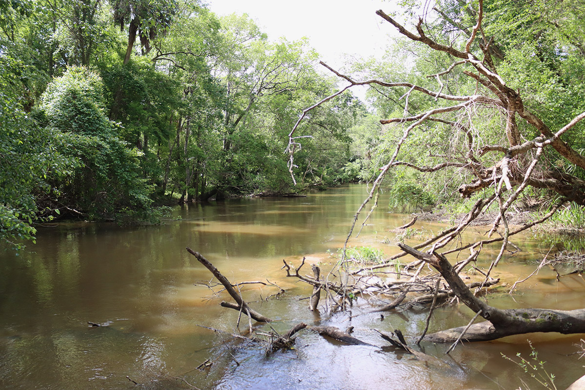
Apalachicola River, Florida
In Florida, there’s a delicate ecosystem, and an oyster fishery at stake.
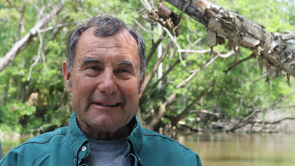
Former Apalachicola Riverkeeper Dan Tonsmeire drives his boat into the Apalachicola River delta. He’s here to help the environmental organization start a project to restore wetlands previously blocked by U.S. Army Corps of Engineers dredging.
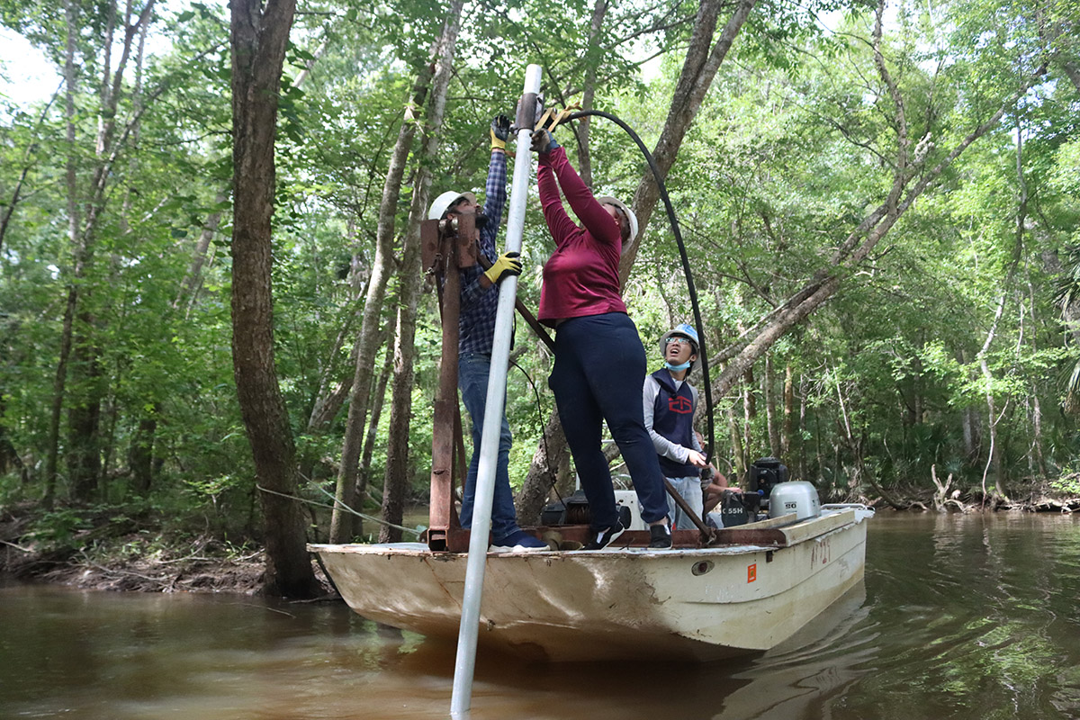
An engineering team is sampling the soil at the mouth of the East River. They’re measuring how much clean river sand was pushed atop muck they’ve determined is natural for channels leaving the river.
Tonsmeire explains those waterways are called sloughs.
“They come out of the river,” Tonsmeire says, “run so far down the river floodplain, picking up the nutrients and the organic matter, bringing it back into the river.”
And from there, into Apalachicola Bay. Restoring sloughs will help the flow of nutrients to the estuary, but only if there’s enough water to reach throughout the floodplain.
That’s why the Sustainable Water Management Plan, which Tonsmeire helped author, calls for more water to be released from Jim Woodruff Dam out of Lake Seminole. That’s where the Chattahoochee meets with the Flint River, on the state line with Florida. They combine to form the Apalachicola River.
The plan recommends two larger releases in May and July, mimicking historic river flows. When rain is abundant, this happens anyway. But during droughts, the Army Corps of Engineers cuts flows to the lowest amount allowed- 5,000 cubic feet per second.
“That’s about the lowest that it ever got.” Tonsmeire says, referring to pre-dam river flows. “But it would only stay there for maybe a few days, and then it would pop back up.”
Under current drought operations, flows can remain fixed on this minimum for an extended amount of time. Tonsmeire says this disrupts the river’s natural fluctuations.
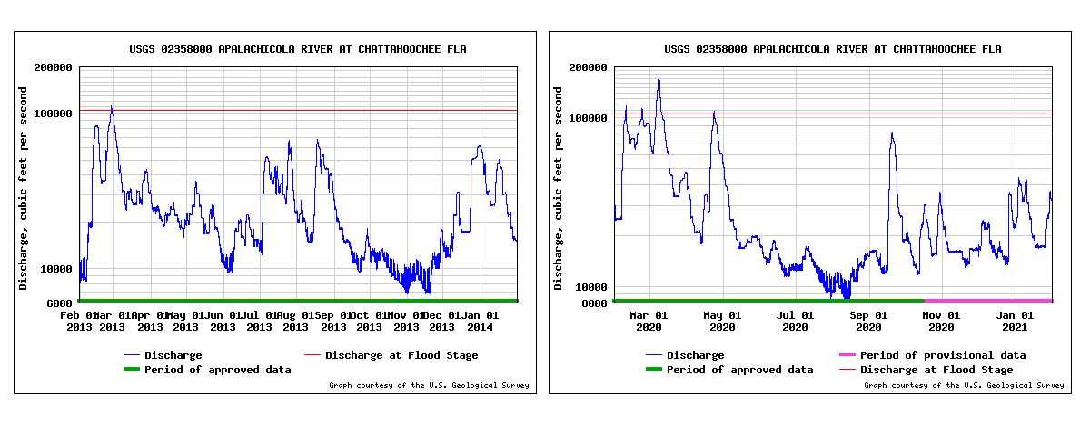
“It’s the same in the bay as it is in the floodplain.” Tonsmeire says. “It likes to be wet and dry, wet and dry. When you fix it at a drought stage, it puts such an extreme stress on the system. What happened in the droughts of 2008 and 2012 is we had this flat line flow of like 5,000 CFS.”
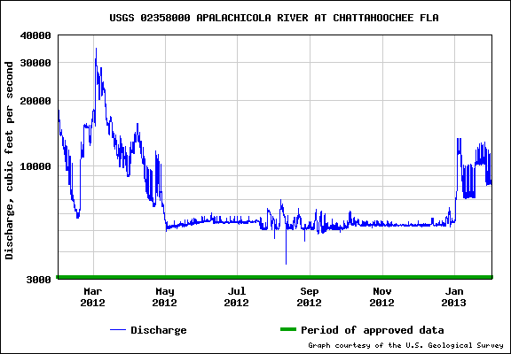
The Apalachicola Bay oyster fishery crashed in 2012, during a record ten months at 5,000 CFS.
The number of predatory snails such as oyster drills increases along with the salinity in the bay. The oysters most vulnerable to predation are juveniles in the process of growing their protective shells. Fresh water pulses during spawning season might give these oysters a greater chance to reach maturity, even during drought years.
Managing the river system should be possible, the Stakeholders say. But their plan only works when all of it is implemented.
The stakeholders say even if what they proposed back in 2015 isn’t the FINAL answer — at least it’s a start in how to share the water between the three states.